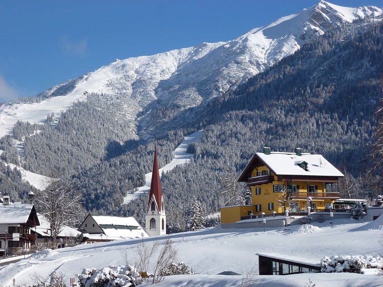
Prévisions de Neige pour Seefeld-Reith/Gschwandtkopf
Lat./Long. : 47.32° N11.18° E
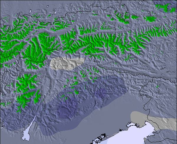
Prévisions météo pour Seefeld-Reith-Gschwandtkopf à1200m altitude
Émis: 1 pm 14 Jul 2026 (heure locale)
Prévisions neige mises à jour en hr min
View forecast
Seefeld-Reith/Gschwandtkopfat 1200 m altitude
Publié par Snow-Forecast.com sur :1 pm (heure locale) / 14 Jul 2026
Derniers 6 joursFaites défiler vers la gauche pour les derniers 6 joursMaintenant
Next 3 days weather summary:
Forte pluie (total 27.0mm), la plus forte pendant le mar. soir. Chaud (max 26°C le jeu. après-midi, min 14°C le mar. soir). Le vent sera généralement faible.
Jours 4-6 Seefeld-Reith/Gschwandtkopf Résumé Météo
Forte pluie (total 46.0mm), la plus forte pendant le ven. après-midi. Chaud (max 25°C le ven. après-midi, min 9°C le dim. soir). Le vent sera généralement faible.
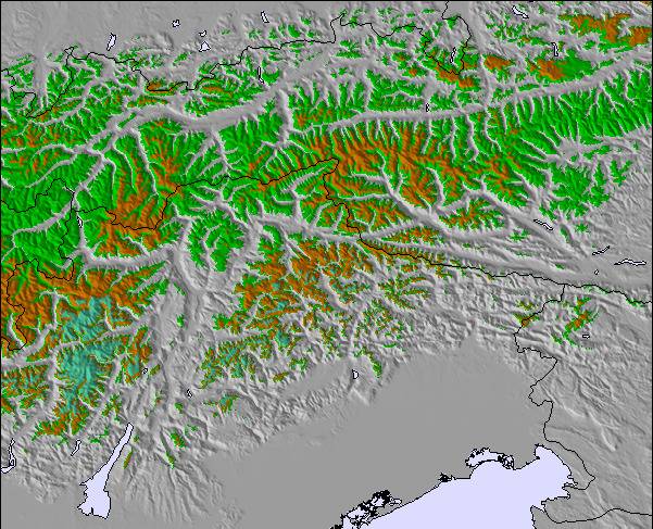
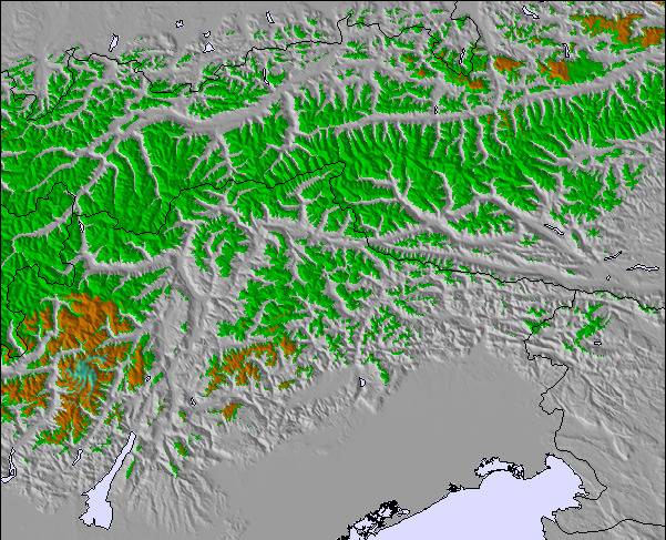
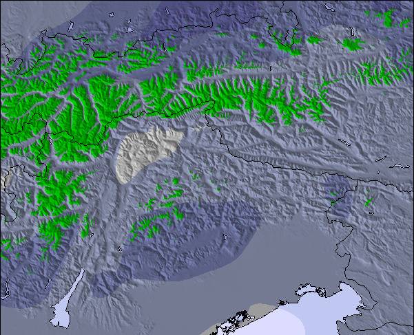
Le tableau ci-dessus montre les prévisions météo pour Seefeld-Reith/Gschwandtkopf à l'altitude spécifique de 1200 m. Notre modèle de prévisions météo sophistiqué nous permet de donner des prévisions de neige en bas, au milieu et en haut de la station Seefeld-Reith/Gschwandtkopf. Pour accéder aux prévisions météo à d'autres altitudes, utiliser l'onglet de navigation au-dessus du tableau. Pour une vue d'ensemble du temps, référez-vous à , la Carte Météo de Austria.
Cliquez ici Pour lire les informations supplémentaires sur les niveaux de gel et comment nous prévoyons les températures.
Le nom de la station s'écrit également Seefeld-Reith-Gschwandtkopf.
Commentaires de Visiteurs de Seefeld-Reith/Gschwandtkopf
Globalement 3.9 Basé sur 12 votes et 1 commentaire
On the face of it Seefeld's second mountain has little to attract the diehard skier, but that would be to do the area a serious injustice!
With a vertical of only 300m this puts the Geschwandtkopf on a par and scale with say Glenshee, but beyond that all the comparables end. Why? Because all the runs are north facing so are snow sure through the season, the pistes are all deserted, so very little if any ice and the mountain has two FIS rated race pistes which many national teams train and race on.
Overall, the skiing is best suited to intermediates and beginners but advanced skiers will have a good day here too.
Add to all of this the subline views of the Inn Valley and Seefeld plateau, the high quality and very reasonably priced Sportalm at the bottom, which is perfect for celebrity spotting (we saw Claudia Schiffer there one Sunday!) and the fact that Seefeld is one of the best all-round winter sports resort in the Alps and you have the perfect ingredients for a very enjoyable day or two as an alternative Seefeld's other ski area the Rosshutte.
Recommended in small doses as part of a weeks stay in beautiful Seefeld.
Commentaires de Visiteurs de Seefeld-Reith/Gschwandtkopf
Globalement: 3.9 Basé sur 12 votes et 1 commentaire
Fiabilité (neige)
4.0
Variété de pistes
2.3
Hors-piste
2.5
Paysages
4.0
Après-Ski
3.3
Tirolerhund de United Kingdom écrit:
On the face of it Seefeld's second mountain has little to attract the diehard skier, but that would be to do the area a serious injustice!
With a vertical of only 300m this puts the Geschwandtkopf on a par and scale with say Glenshee, but beyond that all the comparables end. Why? Because all the runs are north facing so are snow sure through the season, the pistes are all deserted, so very little if any ice and the mountain has two FIS rated race pistes which many national teams train and race on.
Overall, the skiing is best suited to intermediates and beginners but advanced skiers will have a good day here too.
Add to all of this the subline views of the Inn Valley and Seefeld plateau, the high quality and very reasonably priced Sportalm at the bottom, which is perfect for celebrity spotting (we saw Claudia Schiffer there one Sunday!) and the fact that Seefeld is one of the best all-round winter sports resort in the Alps and you have the perfect ingredients for a very enjoyable day or two as an alternative Seefeld's other ski area the Rosshutte.
Recommended in small doses as part of a weeks stay in beautiful Seefeld.
Widget Snow-Forecast.com gratuit pour votre site web
Le widget météo de ski Seefeld-Reith/Gschwandtkopf est intégré gratuitement sur les sites Web externes. Il fournit un résumé quotidien de nos prévisions d'enneigement de Seefeld-Reith/Gschwandtkopf et des conditions météo actuelles. Il vous suffit d'aller sur la page de configuration et de suivre les 3 étapes simples pour récupérer le code html personnalisé et le coller dans votre propre site. Vous pouvez choisir l'altitude des prévisions d'enneigement (au sommet, à mi-montagne ou en bas des pistes) et les unités métriques/impériales pour saisir des prévisions d'enneigement en fonction de votre propre site Web…. Cliquez ici pour obtenir le code.


 Nearest