

Portillo Re-Opens To Guests Arriving By Helicopter
Chile’s famous Portillo ski resort is reported to have re-opened to guests arriving by helicopter after being cut off by road for more than two weeks by over 6m/20 feet of snowfall.

Next 3 days weather summary:Forte pluie (total 26.0mm), la plus forte pendant le lun. soir. Chaud (max 21°C le lun. après-midi, min 15°C le mer. matin). Le vent sera généralement faible. | Jours 4-6 Strobl at the Wolfgangsee/Postalm Résumé MétéoForte pluie (total 32.0mm), la plus forte pendant le jeu. soir. Très doux (max 19°C le jeu. après-midi, min 10°C le jeu. soir). Le vent sera généralement faible. | |||||||||||||||||
lundi 3 | mardi 4 | mercredi 5 | jeudi 6 | vendredi 7 | samedi 8 | |||||||||||||
matin | après-midi | soir | matin | après-midi | soir | matin | après-midi | soir | matin | après-midi | soir | matin | après-midi | soir | matin | après-midi | soir | |
qq nuages | risque orage | averses | beau | qq nuages | averses | risque orage | risque orage | averses | risque orage | risque orage | forte pluie | pluie légère | pluie légère | averses | beau | qq nuages | averses | |
km/h | ||||||||||||||||||
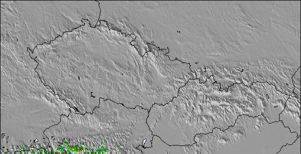
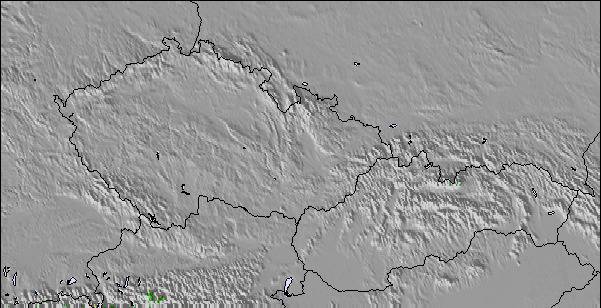
Carte neige |  |  |  |  |  |  | ||||||||||||
— | — | — | — | — | — | — | — | — | — | — | — | — | — | — | — | — | — | |
mm | — | 1 | 10 | — | — | 3 | 1 | 3 | 8 | 2 | 1 | 21 | 2 | 2 | 2 | — | — | 2 |
max °C | 19 | 21 | 19 | 19 | 21 | 21 | 17 | 19 | 18 | 16 | 19 | 17 | 10 | 13 | 12 | 13 | 15 | 14 |
min °C | 18 | 19 | 16 | 18 | 21 | 16 | 15 | 18 | 15 | 15 | 18 | 10 | 10 | 11 | 11 | 11 | 15 | 13 |
chill °C | 18 | 19 | 16 | 18 | 21 | 16 | 15 | 18 | 15 | 15 | 18 | 8 | 10 | 11 | 11 | 11 | 15 | 13 |
Humid. % | 53 | 57 | 49 | 52 | 50 | 62 | 73 | 66 | 75 | 74 | 64 | 98 | 94 | 82 | 86 | 76 | 71 | 73 |
Niveau de gel m | 4450 | 4500 | 4600 | 4500 | 4600 | 4550 | 4500 | 4500 | 4450 | 4350 | 4500 | 3950 | 3900 | 4000 | 3950 | 3900 | 4000 | 4000 |
5:45 | — | — | 5:46 | — | — | 5:47 | — | — | 5:48 | — | — | 5:50 | — | — | 5:50 | — | — | |
— | — | 8:37 | — | — | 8:37 | — | — | 8:36 | — | — | 8:34 | — | — | 8:31 | — | — | 8:30 | |
Devenez pro et carve en:
Informations avalanche : European Avalanche Warning Services (EAWS)
Derniers bulletins d'enneigement près de Strobl at the Wolfgangsee/Postalm:
| Épaisseur de neige au sommet : | 0 cm |
|---|---|
| Épaisseur de neige en bas : | 0 cm |
| Épaisseur de neige fraîche : | — |
| Dernières chutes de neige : | 12 Jun 2026 |
0.0 | Journées poudreuse Bluebird Neige fraîche, plutôt ensoleillé, vent faible. |
|---|---|
0.0 | Journées poudreuse Neige fraîche, peu ensoleillé, vent éventuel. |
0.0 | Journées Bluebird Neige moyenne, plutôt ensoleillé, vent faible. |
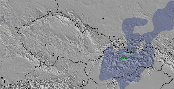
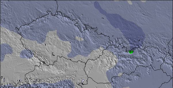
Le tableau ci-dessus montre les prévisions météo pour Strobl at the Wolfgangsee/Postalm à l'altitude spécifique de 1856 m. Notre modèle de prévisions météo sophistiqué nous permet de donner des prévisions de neige en bas, au milieu et en haut de la station Strobl at the Wolfgangsee/Postalm. Pour accéder aux prévisions météo à d'autres altitudes, utiliser l'onglet de navigation au-dessus du tableau. Pour une vue d'ensemble du temps, référez-vous à , la Carte Météo de Austria.
Cliquez ici Pour lire les informations supplémentaires sur les niveaux de gel et comment nous prévoyons les températures.
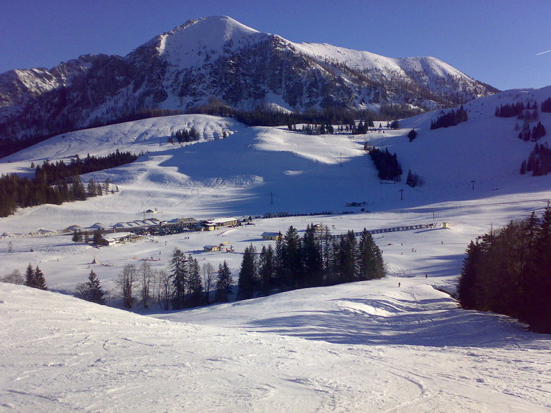
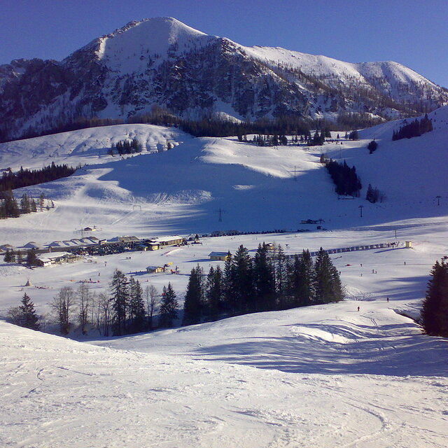
Le nom de la station s'écrit également Postalm Arena.
Globalement 3.0 Basé sur 11 votes.

 Nearest