
North America Weekly Snow Roundup #321
Weekly Snow News for North America, updated 2 July 2026: Beartooth Basin summer ski area ends 2026 season with fresh snow falling and Banff's Sunshine celebrates Canada Day on the slopes.

Next 3 days weather summary:Forte pluie (total 23.0mm), la plus forte pendant le dim. après-midi. Très doux (max 16°C le sam. matin, min 7°C le dim. soir). Le vent sera généralement faible. | Jours 4-6 Loveland Résumé MétéoPluie modérée (total 12.0mm), la plus forte le mer. après-midi. Très doux (max 16°C le mar. matin, min 7°C le mar. soir). Le vent sera généralement faible. | |||||||||||||||||
samedi 25 | dimanche 26 | lundi 27 | mardi 28 | mercredi 29 | jeudi 30 | |||||||||||||
matin | après-midi | soir | matin | après-midi | soir | matin | après-midi | soir | matin | après-midi | soir | matin | après-midi | soir | matin | après-midi | soir | |
qq nuages | risque orage | averses | qq nuages | pluie mod. | averses | nuageux | risque orage | averses | qq nuages | risque orage | averses | qq nuages | pluie mod. | beau | beau | nuageux | averses | |
km/h | ||||||||||||||||||
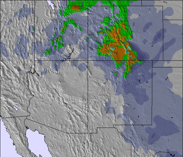
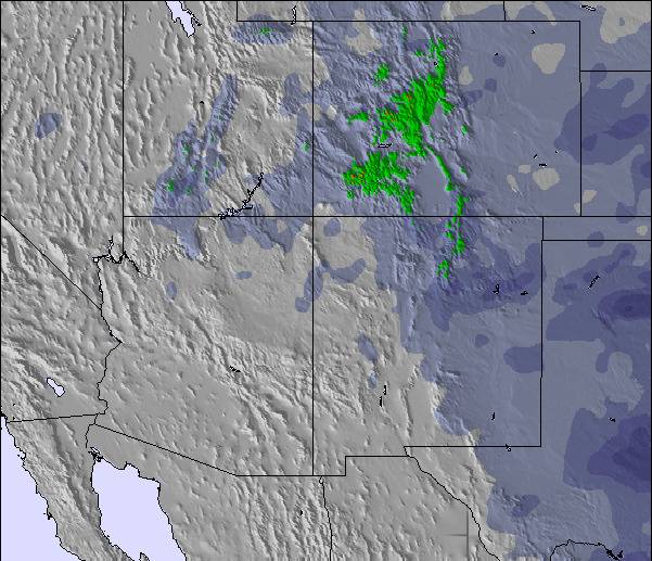
Carte neige |  |  | 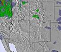 | 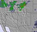 | 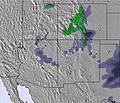 | 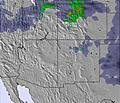 | ||||||||||||
— | — | — | — | — | — | — | — | — | — | — | — | — | — | — | — | — | — | |
mm | — | 2 | 4 | — | 6 | 4 | — | 4 | 3 | — | 1 | 3 | — | 7 | — | — | — | 1 |
max °C | 16 | 16 | 10 | 16 | 11 | 8 | 15 | 13 | 8 | 16 | 14 | 10 | 16 | 15 | 8 | 15 | 16 | 10 |
min °C | 13 | 11 | 8 | 13 | 10 | 7 | 12 | 10 | 7 | 12 | 14 | 7 | 12 | 9 | 7 | 12 | 15 | 8 |
chill °C | 13 | 11 | 8 | 13 | 9 | 7 | 12 | 10 | 6 | 12 | 14 | 6 | 12 | 8 | 5 | 11 | 15 | 8 |
Humid. % | 48 | 38 | 85 | 54 | 70 | 79 | 56 | 61 | 87 | 47 | 43 | 86 | 54 | 50 | 76 | 48 | 31 | 64 |
Niveau de gel m | 5700 | 5950 | 5300 | 5700 | 5550 | 5350 | 5650 | 5750 | 5200 | 5700 | 5800 | 5200 | 5650 | 5750 | 5150 | 5550 | 5850 | 5350 |
5:56 | — | — | 5:56 | — | — | 5:56 | — | — | 5:58 | — | — | 5:58 | — | — | 6:00 | — | — | |
— | 8:22 | — | — | 8:22 | — | — | 8:21 | — | — | 8:20 | — | — | 8:19 | — | — | 8:17 | — | |
Devenez pro et carve en:
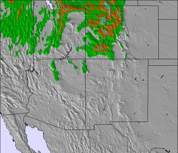
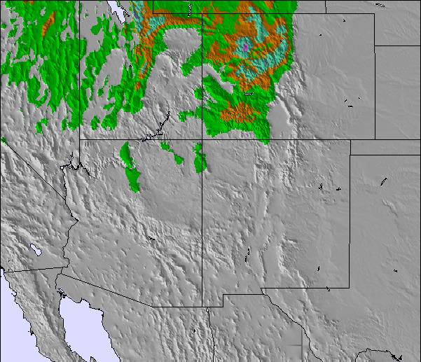
Informations avalanche : Colorado Avalanche Information Center
Derniers bulletins d'enneigement près de Loveland:
| Épaisseur de neige au sommet : | 0 cm |
|---|---|
| Épaisseur de neige en bas : | 0 cm |
| Épaisseur de neige fraîche : | — |
| Dernières chutes de neige : | 22 May 2026 |
0.0 | Journées poudreuse Bluebird Neige fraîche, plutôt ensoleillé, vent faible. |
|---|---|
0.0 | Journées poudreuse Neige fraîche, peu ensoleillé, vent éventuel. |
0.0 | Journées Bluebird Neige moyenne, plutôt ensoleillé, vent faible. |

Le tableau ci-dessus montre les prévisions météo pour Loveland à l'altitude spécifique de 3871 m. Notre modèle de prévisions météo sophistiqué nous permet de donner des prévisions de neige en bas, au milieu et en haut de la station Loveland. Pour accéder aux prévisions météo à d'autres altitudes, utiliser l'onglet de navigation au-dessus du tableau. Pour une vue d'ensemble du temps, référez-vous à , la Carte Météo de United States.
Cliquez ici Pour lire les informations supplémentaires sur les niveaux de gel et comment nous prévoyons les températures.
Globalement 3.5 Basé sur 12 votes.

 Nearest