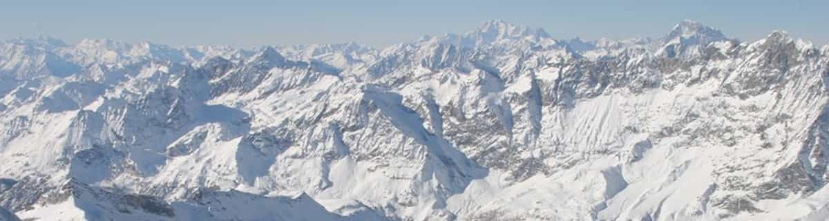


America’s Next Indoor Snow Centre Takes Shape
Construction of a new indoor snow centre for skiers, boarders and tubers appears to be making good progress at Heritage Farm in Wayne County, West Virginia.

Next 3 days weather summary:Pluie modérée (total 13.0mm), la plus forte le mer. soir. Très doux (max 17°C le mer. après-midi, min 10°C le jeu. soir). Le vent sera généralement faible. | Jours 4-6 Unternberg Ruhpolding Résumé MétéoForte pluie (total 26.0mm), la plus forte pendant le lun. matin. Chaud (max 22°C le sam. après-midi, min 12°C le lun. matin). Le vent sera généralement faible. | ||||||||||||||||
mar 21 | mercredi 22 | jeudi 23 | vendredi 24 | samedi 25 | dimanche 26 | ||||||||||||
après-midi | soir | matin | après-midi | soir | matin | après-midi | soir | matin | après-midi | soir | matin | après-midi | soir | matin | après-midi | soir | |
nuageux | averses | beau | beau | averses | averses | risque orage | averses | beau | beau | beau | qq nuages | beau | averses | risque orage | pluie légère | pluie légère | |
km/h | |||||||||||||||||
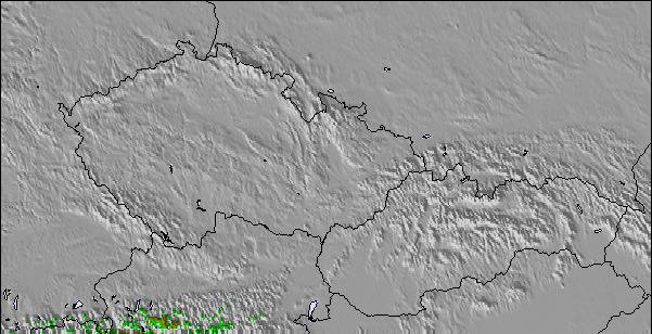
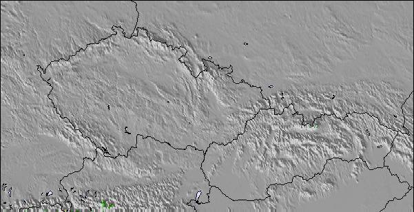
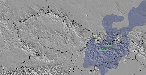
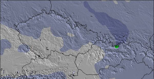
Carte neige |  |  |  |  |  |  | |||||||||||
— | — | — | — | — | — | — | — | — | — | — | — | — | — | — | — | — | |
mm | — | 1 | — | — | 3 | 3 | 4 | 2 | — | — | — | — | — | 4 | 3 | 3 | 5 |
max °C | 15 | 13 | 14 | 17 | 16 | 11 | 13 | 12 | 13 | 17 | 15 | 18 | 22 | 21 | 16 | 15 | 16 |
min °C | 15 | 11 | 11 | 16 | 11 | 11 | 13 | 10 | 11 | 16 | 14 | 16 | 22 | 16 | 16 | 14 | 13 |
chill °C | 15 | 11 | 10 | 16 | 10 | 10 | 12 | 9 | 11 | 16 | 14 | 16 | 22 | 16 | 16 | 13 | 12 |
Humid. % | 62 | 70 | 54 | 42 | 68 | 85 | 72 | 67 | 54 | 38 | 51 | 40 | 42 | 63 | 75 | 85 | 73 |
Niveau de gel m | 2900 | 2650 | 2800 | 3000 | 3050 | 2800 | 2800 | 2600 | 3000 | 3450 | 3800 | 3900 | 4200 | 4100 | 3600 | 3300 | 3150 |
— | — | 5:33 | — | — | 5:33 | — | — | 5:35 | — | — | 5:37 | — | — | 5:37 | — | — | |
— | 8:58 | — | — | 8:57 | — | — | 8:55 | — | — | 8:54 | — | — | 8:53 | — | — | 8:52 | |
Devenez pro et carve en:
Informations avalanche : European Avalanche Warning Services (EAWS)
Derniers bulletins d'enneigement près de Unternberg Ruhpolding:
| Épaisseur de neige au sommet : | 0 cm |
|---|---|
| Épaisseur de neige en bas : | 0 cm |
| Épaisseur de neige fraîche : | — |
| Dernières chutes de neige : | 16 May 2026 |
0.0 | Journées poudreuse Bluebird Neige fraîche, plutôt ensoleillé, vent faible. |
|---|---|
0.0 | Journées poudreuse Neige fraîche, peu ensoleillé, vent éventuel. |
0.0 | Journées Bluebird Neige moyenne, plutôt ensoleillé, vent faible. |
Le tableau ci-dessus montre les prévisions météo pour Unternberg Ruhpolding à l'altitude spécifique de 1064 m. Notre modèle de prévisions météo sophistiqué nous permet de donner des prévisions de neige en bas, au milieu et en haut de la station Unternberg Ruhpolding. Pour accéder aux prévisions météo à d'autres altitudes, utiliser l'onglet de navigation au-dessus du tableau. Pour une vue d'ensemble du temps, référez-vous à , la Carte Météo de Germany.
Cliquez ici Pour lire les informations supplémentaires sur les niveaux de gel et comment nous prévoyons les températures.
Globalement 2.4 Basé sur 10 votes.

 Nearest