Visitez Mount Damavand
Informations utiles sur les stations afin de vous aider à planifier votre voyage à %{resort_name}.
- Ouverture de la saison15 Dec 2025
- Fermeture de la saison1 Apr 2026
- Hébergement—
- Restaurants | Bars— | —
- Aéroport le plus proche Tehran (Imam Khomeini Airport)
- Gare la plus proche Tehran
- Site Officiel du Tourisme
- Tél. Office de Tourisme+98 9121062734
Mount Damavand Caractéristiques
Le terrain de Mount Damavand inclut :
- Halfpipes—
- Snowpark—
- Ski de fond—
- Location de skis—
What's it like at Mount Damavand?
Mount Damavand in Iran (Islamic Republic of) is a small ski resort with no ski lifts but it does boast a very impressive 1524 metres (5000 feet) of vertical descent. The closest airport is at Tehran (Mehrabad Airport) and the transfer time is only 1 hours. The nearest train station to Mount Damavand is at Tehran.
The area has a famous climbing path & shelters: 1-South Ridge: 3rd Shelter (200 persons), 2-West Ridge: Simorq Shelter (40 persons), 3-North-East Ridge:Takhteh Fereidoun Shelter (30 persons), 4-North Ridge: 4000 & 5000 Shelters (15 persons each one), * In summer (high season of climbing) it is hard to find empty place in shelters and taking a tent is recommended. ** shelters have only few wooden beds (north has nothing) and no more facilities. There are 2 camps for arrival date in Reineh (close to south) and Polour (close to west) and also you can rent local suites in Reineh city. * Hot spa is very close to Reineh city. **Iran Mountaineering Federation agent charges foreign climbers in base camps (about 50US$).
Dernières photos de Mount Damavand. Voir toutes les photos sur la page de la galerie de Mount Damavand.
Télécharger une nouvelle photo
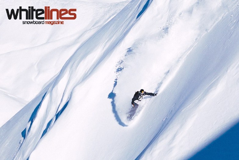
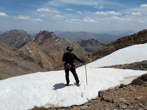 Crédit photo: ghasem ahmari
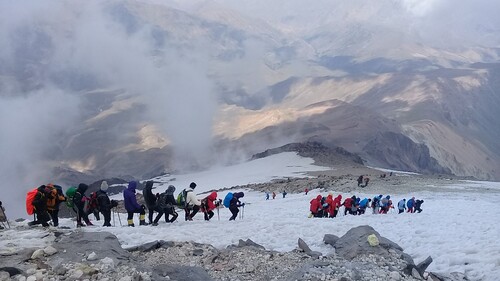 Crédit photo: ghasem ahmari
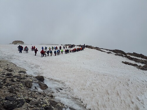 Crédit photo: ghasem ahmari
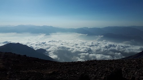 Crédit photo: ghasem ahmari
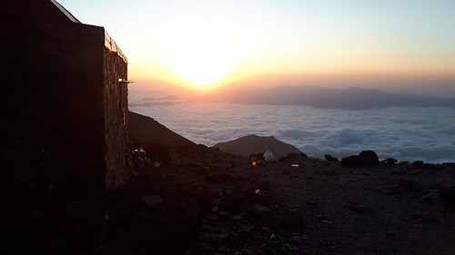 Crédit photo: ghasem ahmari
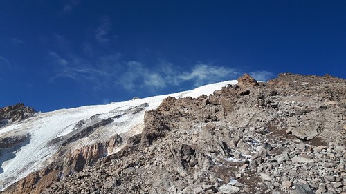 Crédit photo: ghasem ahmari
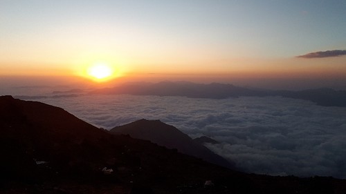 Crédit photo: ghasem ahmari
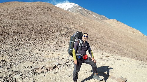 Crédit photo: ghasem ahmari
Découvrez la carte de la station de ski de Mount Damavand
Plan des pistes et plan des sentiers interactifs de Mount Damavand. Visualisez les pistes et les sentiers ainsi que le terrain environnant et les contours des montagnes pour pré&parer des activités dans toute la région. Trouvez et comparez les stations à proximité en cliquant sur les marqueurs de station.

Quel est le mois le plus enneigé pour aller à Mount Damavand ?
Comment est actuellement la neige à Mount Damavand?
Un résumé des conditions d'enneigement actuelles à Mount Damavand. Afficher de plus amples informations sur Mount Damavand page du rapport d'enneigement détaillé.
- État de la piste—
- État hors piste—

| Profondeur de Neige en Haut: | ||
|---|---|---|
| Profondeur de Neige en Bas: | ||
Commentaires de Visiteurs de Mount Damavand
Behzad Karimmaslak de Iran écrit:
I have climbed to Damavand summit from all four main routes but I prescribed for mountaineers that they want to climb for the first time to any route they must have a coach or a very experienced man in his / her team and have accommodated with physical readiness then start to climbing as example 'the eastern route' have the most climbing distance and also in foggy climates the most danger is to be thrown off to 'Yakhar valley'. 'The northern route' program it is better to reach '5000 Shelter'. The end shelter in the first time and have enough water and also have crampon for transferring the glassier. The western route has the most slope and danger of throwing rocks and needs the most physical readiness at the end. 'The southern route' has the most visitors/climbers so it needs preparations to reserve a bed via net.
Lisez 20 autres commentaires de Mount Damavand ou soumettez le votre
Stations proches de Mount Damavand
Découvrez les stations de ski proches de Mount Damavand. Cliquez ci-dessous pour consulter les guides des stations de ski.
 Āb AlīDernière neige: 3.0 cm Mon 13 Apr
 Remontées: 9
 Pistes: —25 km loin
- ShemshakDernière neige: 4.0 cm Mon 20 AprRemontées: 7Pistes: —55 km loin
- DarbandsarDernière neige: 2.0 cm Wed 20 MayRemontées: 6Pistes: —57 km loin
- DizinDernière neige: 2.0 cm Wed 20 MayRemontées: 13Pistes: 2368 km loin
- TochalDernière neige: 7.0 cm Mon 13 AprRemontées: 4Pistes: 273 km loin
 Nearest