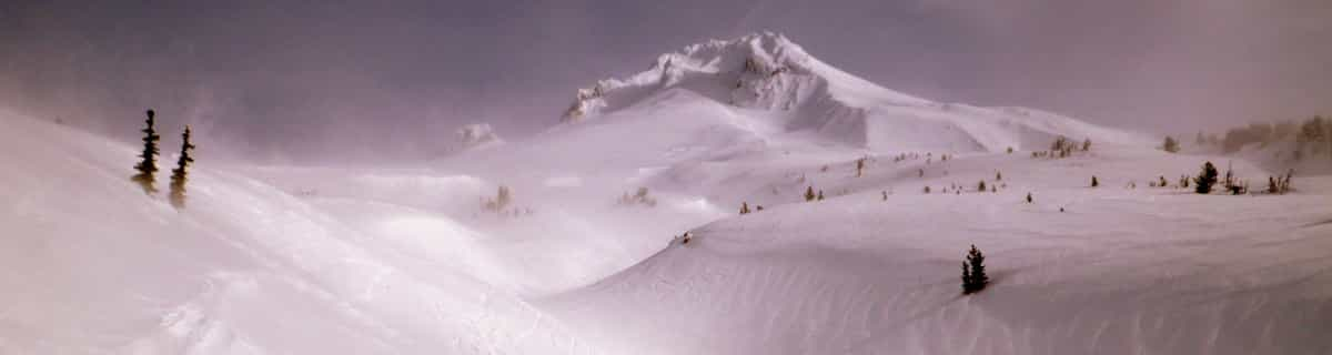


Portillo Storm Snowfall Total Passes 5m / 17 Feet
A snow storm that has now continued for nine days has taken Chilean ski resort Portillo to a snowfall total of 5.2 metres (17 feet) so far, with more snow forecast.

Next 3 days weather summary:Généralement sec. Chaud (max 30°C le jeu. après-midi, min 20°C le mar. soir). Le vent sera généralement faible. | Jours 4-6 Adelharz u. Breitensteinlifte Kranzegg Résumé MétéoPluie légère (total 8.0mm), généralement en baisse le ven. soir. Chaud (max 29°C le ven. après-midi, min 19°C le ven. soir). Vents s'atténuant (vents frais venant de l'O le ven. soir, calme le sam. soir). | ||||||||||||||||
mar 28 | mercredi 29 | jeudi 30 | vendredi 31 | samedi 1 | dimanche 2 | ||||||||||||
après-midi | soir | matin | après-midi | soir | matin | après-midi | soir | matin | après-midi | soir | matin | après-midi | soir | matin | après-midi | soir | |
beau | beau | qq nuages | beau | beau | beau | beau | qq nuages | qq nuages | qq nuages | averses | qq nuages | averses | averses | qq nuages | risque orage | averses | |
km/h | |||||||||||||||||
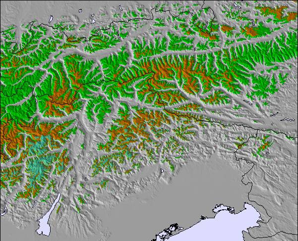
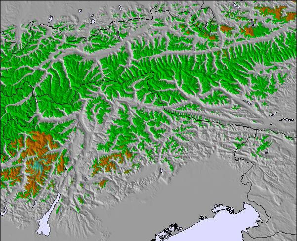
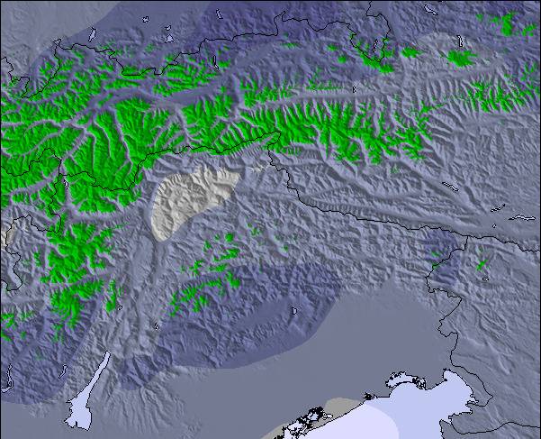
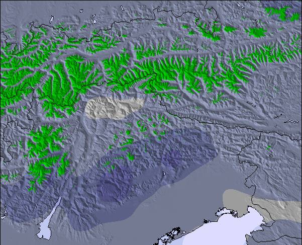
Carte neige |  |  |  |  |  |  | |||||||||||
— | — | — | — | — | — | — | — | — | — | — | — | — | — | — | — | — | |
mm | — | — | — | — | — | — | — | — | — | — | 1 | — | 2 | 2 | — | 1 | 2 |
max °C | 23 | 21 | 25 | 26 | 25 | 27 | 30 | 28 | 27 | 29 | 27 | 23 | 23 | 22 | 24 | 26 | 24 |
min °C | 22 | 20 | 23 | 26 | 23 | 24 | 29 | 21 | 24 | 29 | 19 | 22 | 22 | 21 | 22 | 26 | 22 |
chill °C | 22 | 20 | 23 | 26 | 23 | 24 | 29 | 21 | 24 | 29 | 18 | 22 | 22 | 21 | 22 | 26 | 22 |
Humid. % | 48 | 61 | 42 | 38 | 38 | 21 | 19 | 48 | 34 | 31 | 47 | 45 | 58 | 56 | 45 | 44 | 45 |
Niveau de gel m | 4600 | 4500 | 4300 | 4450 | 4400 | 4450 | 4650 | 4600 | 4600 | 4700 | 4450 | 4300 | 4450 | 4450 | 4500 | 4550 | 4600 |
— | — | 5:50 | — | — | 5:52 | — | — | 5:54 | — | — | 5:54 | — | — | 5:56 | — | — | |
— | 8:59 | — | — | 8:57 | — | — | 8:55 | — | — | 8:54 | — | — | 8:52 | — | — | 8:52 | |
Devenez pro et carve en:
Informations avalanche : European Avalanche Warning Services (EAWS)
Derniers bulletins d'enneigement près de Adelharz u. Breitensteinlifte Kranzegg:
| Épaisseur de neige au sommet : | 0 cm |
|---|---|
| Épaisseur de neige en bas : | 0 cm |
| Épaisseur de neige fraîche : | — |
| Dernières chutes de neige : | 16 May 2026 |
0.0 | Journées poudreuse Bluebird Neige fraîche, plutôt ensoleillé, vent faible. |
|---|---|
0.0 | Journées poudreuse Neige fraîche, peu ensoleillé, vent éventuel. |
0.0 | Journées Bluebird Neige moyenne, plutôt ensoleillé, vent faible. |
Le tableau ci-dessus montre les prévisions météo pour Adelharz u. Breitensteinlifte Kranzegg à l'altitude spécifique de 1145 m. Notre modèle de prévisions météo sophistiqué nous permet de donner des prévisions de neige en bas, au milieu et en haut de la station Adelharz u. Breitensteinlifte Kranzegg. Pour accéder aux prévisions météo à d'autres altitudes, utiliser l'onglet de navigation au-dessus du tableau. Pour une vue d'ensemble du temps, référez-vous à , la Carte Météo de Germany.
Cliquez ici Pour lire les informations supplémentaires sur les niveaux de gel et comment nous prévoyons les températures.
Le nom de la station s'écrit également Adelharz and Breitenstein, Kranzegg.
Globalement 2.1 Basé sur 10 votes.

 Nearest